Youth Encouraged To Embrace Geospatial Technology
Minister without Portfolio in the Ministry of Economic Growth and Job Creation, Hon. Daryl Vaz, is encouraging youth to embrace knowledge of geospatial technology, in a bid to support the creation of a global legacy for Jamaica in geographic information systems (GIS).
“As future decision-makers, the knowledge you, our students, stand to gain from utilising geospatial technology will enable you to assume leadership positions in increasingly complex sociocultural, economic and environmental situations, and subsequently make your positive mark on the world,” Minister Vaz said.
He also encouraged them to be “innovators and developers of various aspects of the technology, not just users”.
“Let Jamaica be the ‘go to’ country for new and developing technologies in GIS. We should chart our own path… one that will create a global legacy for Jamaica. I, therefore, urge everyone to learn as much as you can about this technology,” he further emphasised.
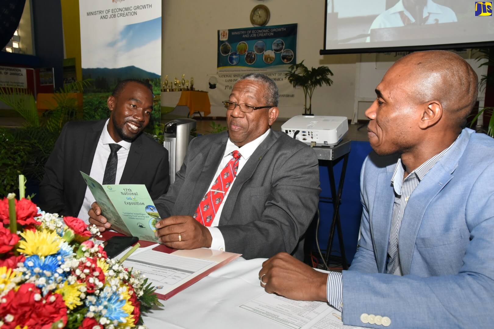
The Minister’s speech was read by Principal Director for the National Spatial Data Management Division (NSDMD) in the Ministry, Yaneke Watson, at the 17th National GIS Day Exposition at the University of the West Indies, Mona, on November 13.
Noting that in excess of 80 government entities and more than 100 private entities use geospatial technology in their operations, Mr. Vaz said this input will “provide us with the necessary tools to make informed decisions” about global developments.
Some of the areas in which he said these can be effectively utilised are climate tracking, food threat monitoring, logistics, mapping rainfall pattern and distribution, and soil fertility examination.
For his part, Mr. Watson said the Division will continue to expose students to the available technology that will be pivotal in different areas of development.
“In light of what is happening globally, in terms of climate change and the need for greater agricultural production along with an increase in population growth, it is important for us to pay attention to how we can boost production and using the associated technologies that are available to us to further enhance agriculture, to create greater security in terms of food,” he stated.
Students from a number of high schools across the country attended the exposition, which was held under the theme ‘Geospatial Technologies: Enhancing Food Security and Climate Resilience’.
They interacted with and learned from various public- and private-sector entities that employ GIS technology in their operations.
These included the National Land Agency, ESRI, Spatial Innovation, and the HEART Trust/NTA.
The event was organised by the National Spatial Data Management Division and Land Information Council of Jamaica.
SOURCE: JIS